
Yes, you can climb Mount Ramelau, and you don’t need to be a mountaineer to do it. At 2,963 metres, it’s Timor-Leste’s highest point, and the standard route is a well-formed 2-3 hour pre-dawn walk from the highland village of Hatobuilico.1 Most people start at 2:30-3am, hire a local guide (recommended, roughly US$20 per person, verify current rate before you go), and time the last few hundred metres to land on the summit just as the sky turns. Best conditions run May to November, in the dry season.
That’s the short answer. Here’s everything else you’ll want to know before you set an alarm for 2:30am in Hatobuilico.
Combine Mount Ramelau with Maubisse and Jaco Island on a vetted multi-day trip with transport and local guidance included.
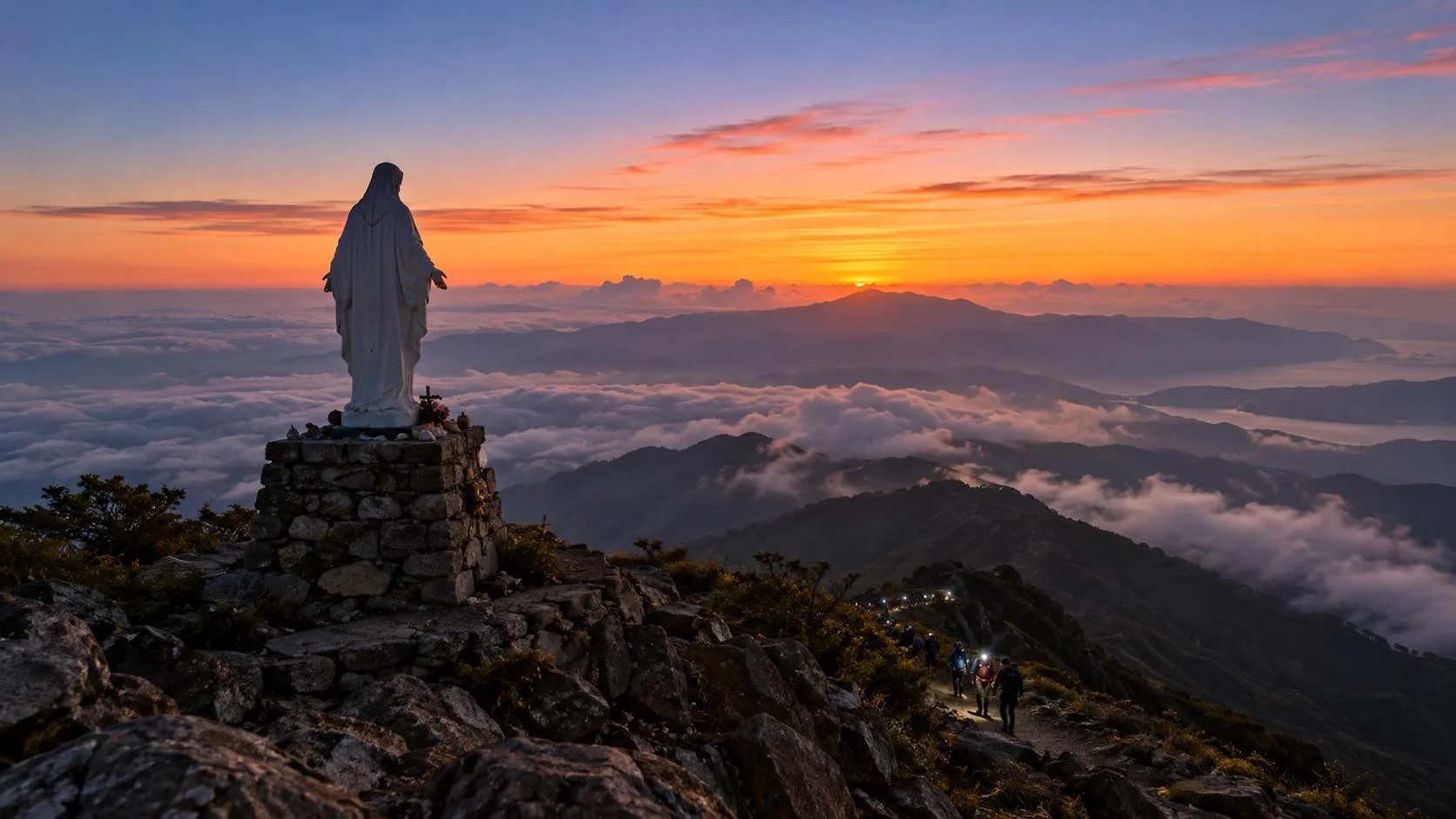
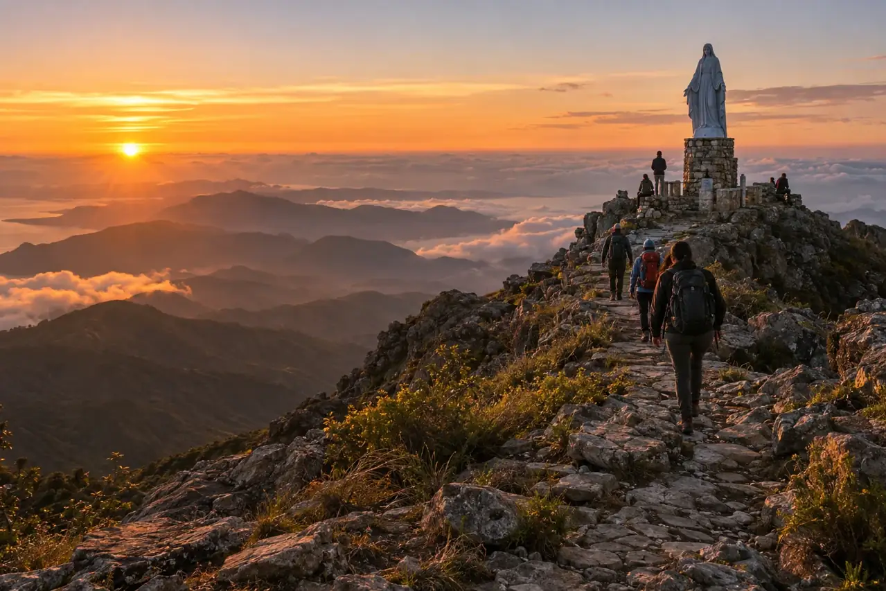
There’s a specific kind of quiet at 2,963 metres, half an hour before the sun comes up. You’re standing on the highest ground in the country, the wind is doing its best to find every gap in your jacket, and the only light comes from a scatter of headtorches strung out along the ridge behind you.
Then the sun clears the horizon and Ramelau’s shadow stretches west across the highlands, a long dark wedge falling toward the Indonesian border. On a clear dry-season morning you can see clouds pooling in the valleys below like something out of a nature documentary, with the summit’s three-metre statue of the Virgin Mary catching the first light above you.2
The statue was cast in Italy and installed in 1997; Ramelau is a genuine pilgrimage site for Catholic East Timorese, and the mountain still draws walkers for the Feast of the Annunciation each March.2 There’s also a quirk of colonial-era geography worth knowing: during Portuguese rule, this was recorded as the highest peak in the Portuguese empire, since mainland Portugal’s own highest point is a modest 1,993 metres.3 Timor-Leste’s own summit outranked the mother country’s.
None of this happens without getting to Hatobuilico first, and this is the part every guide glosses over. It’s not far on a map, around 75km south of Dili, but the road does the work of a much longer trip.4
| Leg | Approx. time | Road reality |
|---|---|---|
| Dili → Aileu | ~1 hour | Sealed, winding highland road |
| Aileu → Maubisse | ~1.5-2 hours | Sealed but slow, tight switchbacks |
| Maubisse → Hatobuilico | ~1.5-2 hours | 16-18km unsealed, rocky mountain track |
| Total, Dili → Hatobuilico | ~4.5-5 hours | 4WD strongly recommended |
That last stretch, Maubisse to Hatobuilico, is the one that catches people out. It’s a rocky, rutted track that a standard hire car will struggle with, especially after rain, and public transport up it is unreliable at best: an occasional angguna truck on market days, otherwise you’re hitchhiking or negotiating a motorbike.5 This is exactly where a guided tour earns its keep, a 4WD, a driver who knows the track, and no gamble on whether you’ll actually make it to the trailhead in daylight. Our 5-day Highland-to-Coast tour handles this leg for you, along with the summit climb itself. [FLAG: this product has a duplicate $0.00 schema bug per the site audit, a functions.php fix is being provided separately; not a URL issue.]
Here’s what the morning actually looks like, based on how most trekking parties run it out of Hatobuilico:
The trail itself isn’t technically difficult. The real reason to bring a guide is the dark. You’re walking a mountain track well before dawn, and it’s genuinely easy to wander off the main path when your headtorch is the only light source and every side trail looks the same. A guide who’s done this walk hundreds of times solves that problem completely.
Pack for cold. Even in the dry season the summit can sit at or below freezing before sunrise, and the wind makes it feel colder still.4 7 Warm layers, a headtorch, and enough water for the round trip aren’t optional, see our full packing essentials guide for what else to bring.
Local guides in Hatobuilico typically charge in the order of US$20 per person for the climb, with rates reported elsewhere ranging from roughly US$10 to US$30 depending on group size and negotiation.4 It isn’t compulsory. The path is well beaten and, in daylight, not hard to follow. But hiring one is money that goes straight into Hatobuilico, from a village where mountain guiding is one of the more reliable sources of income, and it buys you a much lower chance of a wrong turn at 4am.
It’s also worth remembering Ramelau is sacred ground, not just a viewpoint. The statue at the summit is a pilgrimage site, and East Timorese Catholics climb it for reasons that have nothing to do with sunrise photos. Keep noise down near the top, be mindful around anyone there for the pilgrimage rather than the view, and treat the mountain as a guest would.
If reading the logistics above made your stomach drop slightly, that’s normal, it’s a genuinely remote climb, and doing it independently means solving transport, a guide, timing and cold-weather gear all on your own, in a language most visitors don’t speak.
Our 5-day Highland-to-Coast tour bundles Maubisse, the Ramelau summit and Jaco Island into one trip, with every transport leg already sorted and a vetted local operator running the ground logistics. You pre-pay online in AUD before you fly, so there’s no cash negotiation for the trickiest parts of the trip once you land, book the 5-day Highland-to-Coast tour. [FLAG: resolve the duplicate $0.00 schema issue flagged in the site audit on this product before this page goes live.]
Readiness score: 0/4
It’s a moderate climb rather than a technical one, a well-formed trail with stone steps for much of the route, gaining roughly 900-1,000m from the Hatobuilico trailhead. Fit walkers reach the summit in around 90 minutes; most people take 2-3 hours.6 The main challenges are the pre-dawn darkness and the cold, not the terrain itself.
A guide isn’t legally required, but we strongly recommend one. The trail is easy to lose in the dark before sunrise, and a local guide from Hatobuilico, typically around US$20 per person, solves that problem while putting money directly into the local economy.
Mount Ramelau stands at 2,963 metres and is the highest mountain in Timor-Leste.1 During the Portuguese colonial era it was also recorded as the highest peak in the Portuguese empire, since mainland Portugal’s own highest point is only 1,993 metres.3
Layer up. Even in the dry season, the summit can be at or below freezing before sunrise, and wind makes it feel colder.4 7 Bring a warm jacket, long layers, a headtorch, sturdy walking shoes and enough water for the round trip, full detail in our packing essentials guide.
The dry season, roughly May to November, gives you the best odds of clear summit views. Outside that window the peak is more prone to cloud, rain and a higher risk of getting cold and wet on the way up.4
Yes, plenty of independent travellers do. You’ll need to get yourself to Hatobuilico (a 4-5 hour drive from Dili with a rough final stretch), arrange a local guide on arrival, and manage your own cold-weather gear and timing.4 5 If you’d rather not solve all of that from scratch, our guided 5-day Highland-to-Coast tour handles transport, the guide and the timing for you.